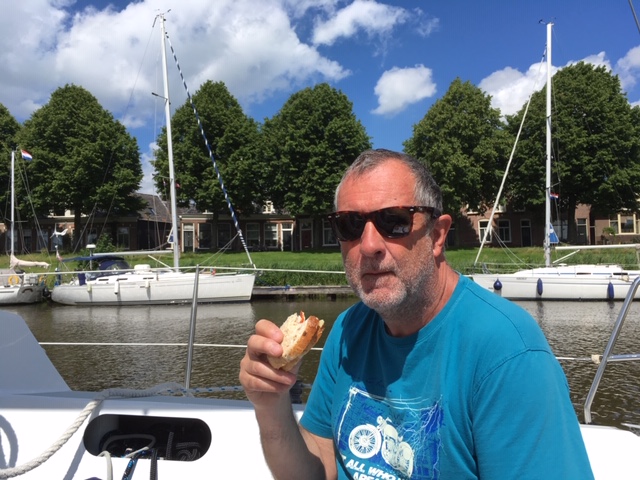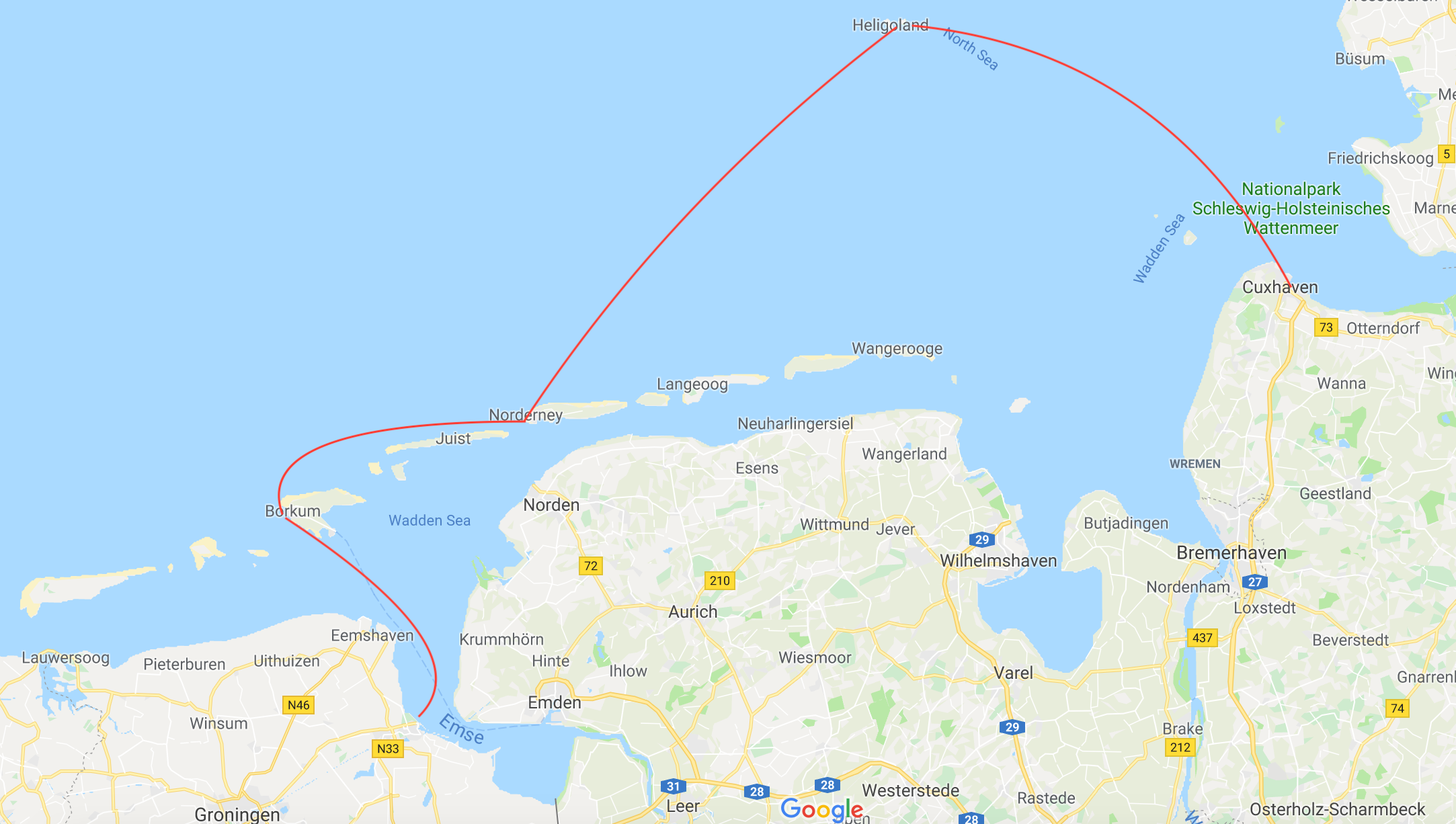
We wrote about the Frisian Islands in a 2015 post when we were on our way out to the Baltic. This post is about our return visit on the way back towards the UK in 2019. The strategically placed island of Helgoland is not strictly part of the Frisians, but it made sense to go there on the way to keep clear of shipping lanes, and take best advantage of the tides.
At the mercy of tides now, we left Cuxhaven at 3am after our 5 day enforced wait for the weather to improve and the wind to turn easterly. We headed out to Helgoland, the German Duty-Free rock in the North Sea on the ebb out of the Elbe estuary. On the way we encountered spectacular phosphorescence in the water; We’ve seen this before in the Med’ but not this bright, it really lit the sea up around the boat! All the wave crests were glowing. The photo below doesn’t really do it justice.
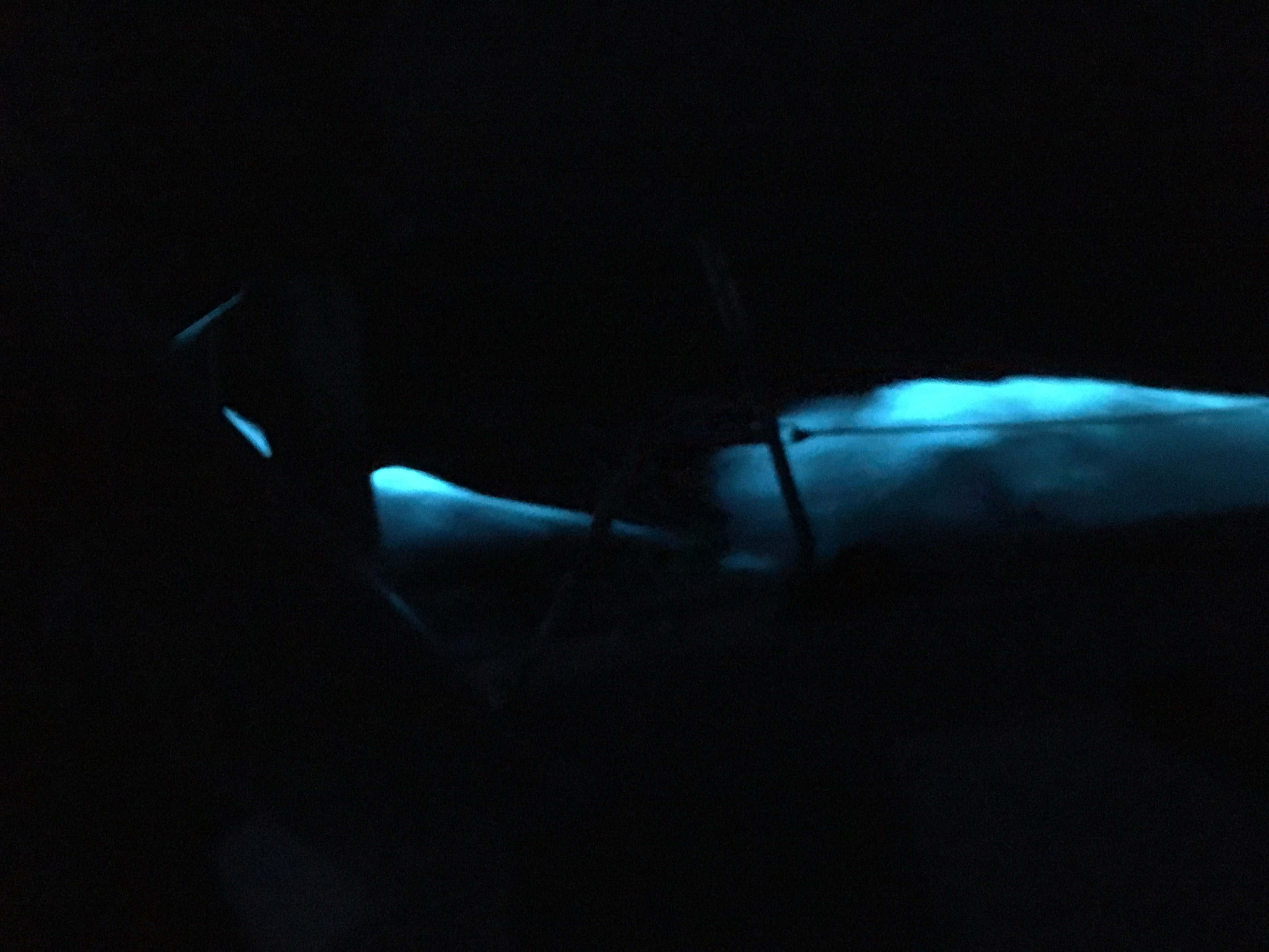
Phosphorescence at night in the North Sea. The black lines are the guard rails of the boat.
Arriving early in the morning, we were pleased to find the harbour comparatively empty, which meant we were in a raft of just 3 boats. We stayed the following day, stocked up on cheap booze, and walked around on the island. We really wanted to visit the historic tunnels, but when we discovered that you can only go in on a daily guided tour in (German language only), we decided to give it a miss.
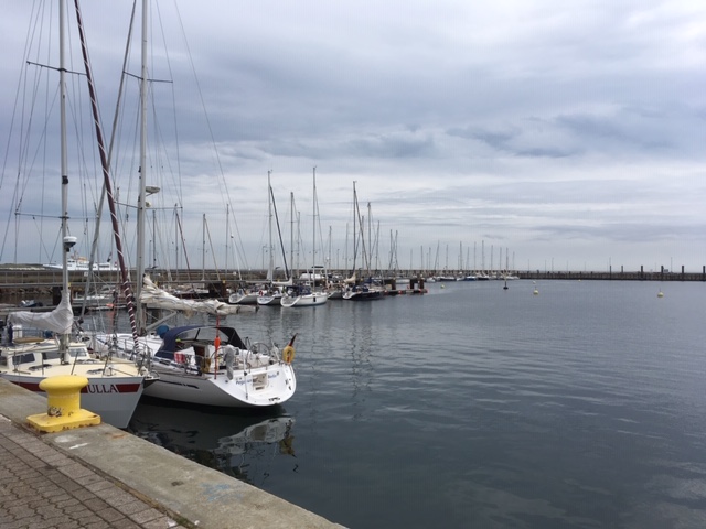
The yacht harbour on Helgoland
There’s not much to hold a sailor on Helgoland, once he’s filled his grog locker. So on again to Norderney, one of the German Frisian Islands. 1am start this time! (Why is it that sailing in tidal waters always requires getting up in the middle of the night?)
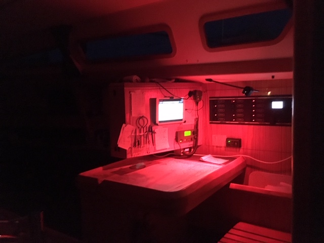
Night time at the chart table
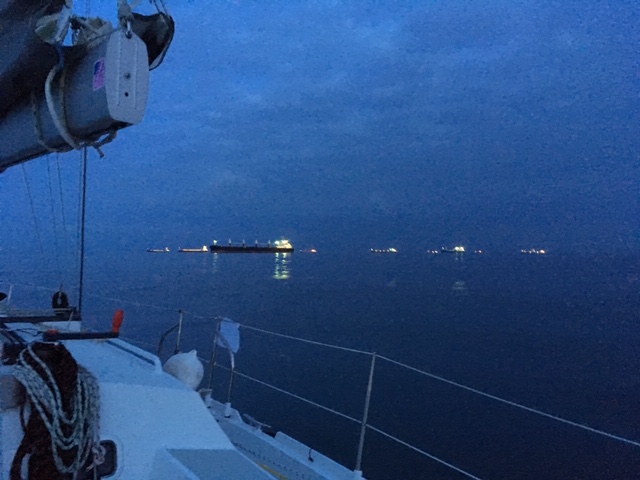
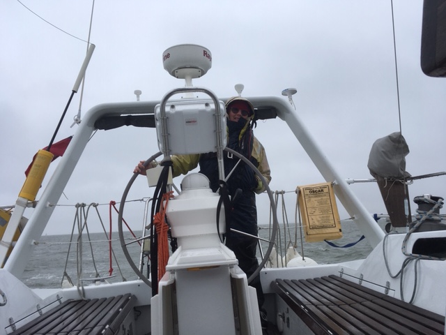
Dawn over a friendly North Sea. These ships are anchored, just outside the traffic separation scheme, waiting for a Pilot to take them into one of the huge rivers in the German Bight
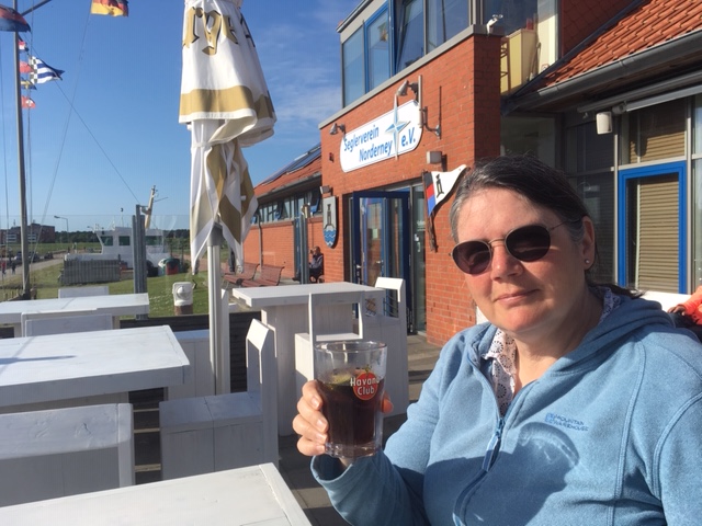
YC bar, Norderney
The next morning we were pleased to find the approach buoys for Norderney in the expected position. The sands shift frequently, and therefore the buoys have to be moved. Even the latest charts are not always up-to date in this area. When we arrived, we found the “White Sands Festival” was on in the main town. Which made the harbour pretty crowded. There are music events, volley ball and kite surfing competitions. Unfortunately for the people attending, and the organisers, the weather was pretty bad a lot of the time. We cycled, walked, shopped, watched films and read. After about a week, the weather seemed to be abating. Or at least offering a short window to escape. So we left on the tide one afternoon for Borkum.
Due to the weather, and the need to get on, we decided to modify our plans and not visit all the islands that we wanted to. So Borkum in the mouth of the river Ems, on the German/ Dutch border was the next destination.
They say you shouldn’t attempt the shallow approaches to Norderney in more than at onshore F4. We can now see why. At the top-end of a F4, 2 hours before high water, the sea looks quite alarming as it breaks each side of the channel. At one point we nearly turned back. Eventually we were out into deeper water, but the wind strengthened beyond the forecast, and we had a long and unpleasant slog to the mouth of the Ems and then into Borkum. Arriving eventually in the early hours. The entrance to the Ems was busy. There were tugs towing lighters, a cable layer with multiple anchors extended around the ship, the wind farm guard boat, numerous trawlers, and of course, the expected ships entering and leaving the river. A night for brushing up on your light recognition theory! We arrived at Borkum, tied to a concrete wall in the harbour near the wind farm vessels and fell into a deep sleep.
The following day we debated what to do next. Holland was just the other side of the river. The weather didn’t seem reliable enough to enthuse us about heading out into the North Sea again for a while. Time for plan B.
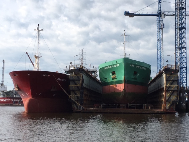
Delfjzil is a serious ship repair facility and fishing port, as well as a key point of entry into the Dutch Canal Network
We decided unanimously to proceed up river to Delfjzil, and lock-in to a nice sheltered canal. This would give us the ability to make progress whilst being less reliant on the weather. We took the flood tide up to Delfjzil in rain and poor viz, once again blessing the Radar and AIS.
“Oi, if you are going to stay down below, put the kettle on!”
There are various points along the route where a yacht can get back out into the North Sea. But for now, it’s inland water for us as we make our way across Holland via the Staande Mastroute. Having used the Dutch Inland Waterways fairly extensively on our way to the Baltic, we will try to vary our route somewhat on the way back.